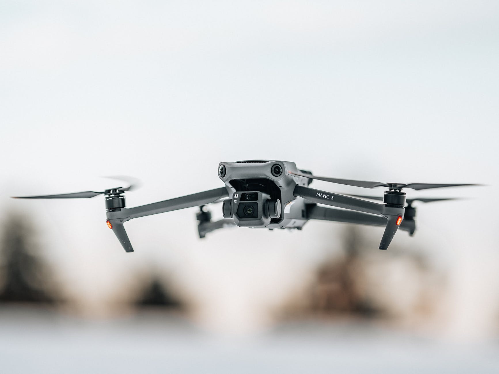
Land surveying can be difficult on treacherous terrains. A hazardous terrain such as a mountainous area can be difficult and risky to survey.
GPR is commonly used to image the subsurface. It is a non-intrusive method that uses radar pulses to investigate underground utilities such as pipes, cables, masonry, concrete, etc.
While GPR can be used in many locations, it may get difficult if not impossible to use the technology in difficult terrains.
One way to overcome this issue is to use a GPR drone, i.e. a GPR mounted on a drone to facilitate land surveying.
The drone is a comparatively newer technology but is fast growing with much research going on it. And using drones and GPR is one of the newer technologies that many are using to survey difficult terrains like mountains, busy cities, highways, etc.
Let’s learn about the advantages of using drones for GPR.
How does Aerial Surveying Work with Drones?
When using drones for land surveying, the GPR is integrated into it with integrated software. As the drone flies, technicians who are operating the drone can view the radar status on a remote screen. The drone is programmed to fly in a precise grid pattern over the area being surveyed. Then, once the drone has landed, the radar information can be transferred to some ground control software.
Advantages of Using Drones for GPR
Recent years have seen the use of drones in many industries including mining, agriculture, construction, and warehousing. When surveying lands, using a drone system has numerous benefits, and being a new technology, newer applications are discovered regularly.
The fact that drones can be transported easily and can be flown over any surface remotely and autonomously makes them a practical use for many applications including land surveying.
Accuracy
Advanced drones are capable of flying at low altitudes, close to the ground surface, and are extremely precise in calculations. With advanced drones mounted with GPR, this means better data resolution for surveying and better photography. The GPR mounted on the drone gives extremely accurate data and measurements, and extremely high-quality documentation.
This is one of the primary advantages of surveying with a GPR drone. The results are extremely precise, just like traditional surveying methods.
Efficiency
Surveying gets easier with drones. Technicians using the drone can pinpoint the exact areas that they need to survey and save time and hassles of reaching them. Drones can cover large areas quite easily and is also a great choice for difficult topography. They can be used to collect data required in a fraction of time. That way, the projects are completed faster and with far fewer hassles than other traditional methods of land surveying.
Safety
The safety of technicians that the drones provide is also counted among the many advantages of the GPR drone. Survey technicians can work remotely, far from tough conditions and difficult terrains, and thus they remain safe and secure. The technicians can send the drones into hazardous and unsafe environments and thus be still able to collect data that otherwise would be difficult, if not impossible to collect. This also reduces the risk of injuries and delays on the job.
Versatility
The range of land access vastly increases with land surveying with drone technology. With this new technology, today, surveying technicians can now reach and access areas that would have been previously impossible to reach without large, specialized equipment.
Not only mountainous and treacherous areas but a GPR drone also can be used to image and survey busy roadways, flooded areas, or congested cities. GPR-drone integrated systems can also be used to measure the depth of freshwater and frozen surfaces.
These are the major benefits of using drones with GPR. As you can see, it can be easily used to survey difficult topography with an enhanced safety of the surveyors.


