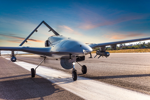
An important sensor for measuring magnetic field intensity in all types of spacecraft and aircraft is known as the magnetometer. It is widely used to detect magnetic metals or materials. The UAV magnetometer plays a vital role in the operation, research, development, management, and maintenance of defense weapons or equipment. Moreover, they can work efficiently under limited and severe conditions.
In the aviation field, the magnetometer can be used to measure the geomagnetic field vector information of the position of satellites and airplanes. The reference for Earth’s magnetic field states that an algorithm can obtain the angle information of a specific precision. This is why, the magnetometer is largely used in aircraft attitude determination systems, especially in picosatellites and nanosatellites.
Integration with UAV
UAV and airborne magnetometers have changed the game in the last 5 years. A magnetometer integrated with a UAV can conduct a traditional magnetic survey 5-10 times faster. Along with being faster and affordable, it also helps to collect high-resolution data as the UAV (drone) can fly much closer to the surface than a helicopter.
In addition, it is a reliable and safe method to get accurate geophysical data even in the most inaccessible terrain.
Now that we have discussed the role of UAV magnetometers, let’s have a look at some of the things to consider in the survey process.
Things to Consider
It is very important to have proper project planning with the expected outcomes in mind. The required data for your specific application determines the software and hardware choices for the survey.
- Right Equipment
This involves selecting the right magnetometer, UAV, mobile tablets, suspension systems, and more. The commercially available high-quality magnetometers are the Sensys MagDrone R4 and Geometric MagArrow. However, if we consider drones, then DJI M600 is the most popular equipment.
- Processing Tools
It is crucial to plan how you would want to process the data. The geophysical processing tool such as Geosoft Oasis Montaj can work fine, but keep in mind that the processing may be accountable for the drone noise and the flight characteristics of the UAV survey.
- Flight Characteristics
Be careful in choosing the right flight parameters and the mission planning software. A survey for discovering various minerals require UAVs flying 20-30m from the ground level with 50m flight lines and 150-200m tie lines. However, it would change while flying a UXO survey close to the ground. Therefore, it is important to choose the right flight software.
Benefits of Using the UAV Integrated Magnetometer
Using a UAV magnetometer helps to scan the target area and detect the metals faster in comparison to the handheld devices. It allows you to create geophysical maps of the area and removes the risk of injury to the ground-based staff.
- Measuring Magnetism
It is used to measure the direction and strength of magnetism in a certain area. It allows for the identification of magnetic metals, delivers inspections, locates buried infrastructure, and archaeological inspections.
- Simple to Use
It is a compact ad light system and helps to filter out noise caused by the drone’s motors or electronics with its high sampling rate. This is an added advantage in comparison to the traditional magnetic sensors, especially for inexperienced UAV pilots.
- Survey Inaccessible Terrain
It can be used to inspect inaccessible ad dangerous terrain. It is a perfect solution for surveying protected lands, wetlands, highly vegetated areas, or extreme terrain.
- Consumes Low Battery
Certain UAV integrated magnetometers use lithium polymer batteries. A single battery powers the system for 2 hours. Thus, it is efficient in outlasting multiple UAV flights.
Takeaway
To complete a mission safely, all UAVs must have certain methods to measure accurately. This is where a magnetometer comes in place. UAV integrated magnetometers implement various methods to reduce the survey errors, effects of external influences, and drift to obtain the most accurate measurements. It ensures the integrity of the survey.


